Difference between revisions of "File:Georgia 1817 State Map 24x27.jpg"
Jump to navigation
Jump to search
(MsUpload) |
|||
| (7 intermediate revisions by the same user not shown) | |||
| Line 1: | Line 1: | ||
| − | + | ==Notes== | |
| + | Notes | ||
| + | - From: Samuel Lewis Atlas, 1817. | ||
| + | |||
| + | {{Citation section/stand alone}} | ||
| + | {{#set:has source=Library of Congress}} | ||
| + | |||
| + | [[Category:Georgia]][[Category:Maps]] | ||
Latest revision as of 11:19, 14 March 2022
Notes
Notes - From: Samuel Lewis Atlas, 1817.
Citing this Source
Source Listing
Citation:Georgia 1817 State Map 24x27.jpg/Source Listing
Citation Listing
Gridley, Enoch G, and Samuel Lewis. The state of Georgia. [S.l., 1817] Map. Retrieved from the Library of Congress, <www.loc.gov/item/2004629000/>.
Link to Citation
- Citation:Georgia 1817 State Map 24x27.jpg/Source Listing
- Citation:Georgia 1817 State Map 24x27.jpg/Citation Listing
Wiki Codes
Source Listing:
{{Citation:Georgia 1817 State Map 24x27.jpg/Source Listing}}
Citation Listing:
{{Citation:Georgia 1817 State Map 24x27.jpg/Citation Listing}}
File history
Click on a date/time to view the file as it appeared at that time.
| Date/Time | Thumbnail | Dimensions | User | Comment | |
|---|---|---|---|---|---|
| current | 07:55, 10 April 2013 | 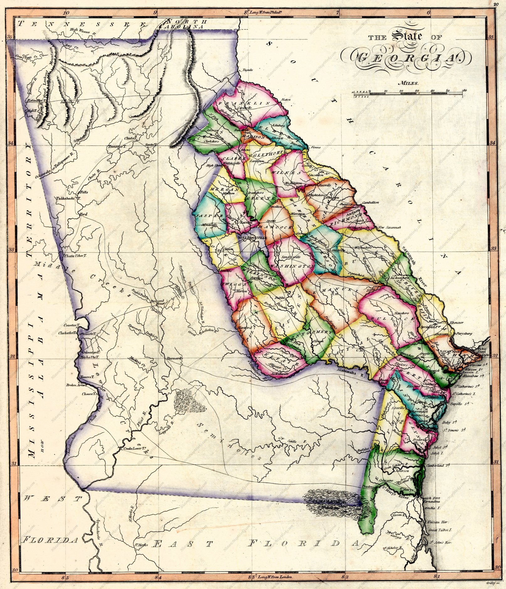 | 1,614 × 1,879 (882 KB) | Wikiadmin (talk | contribs) | MsUpload |
You cannot overwrite this file.
File usage
There are no pages that use this file.