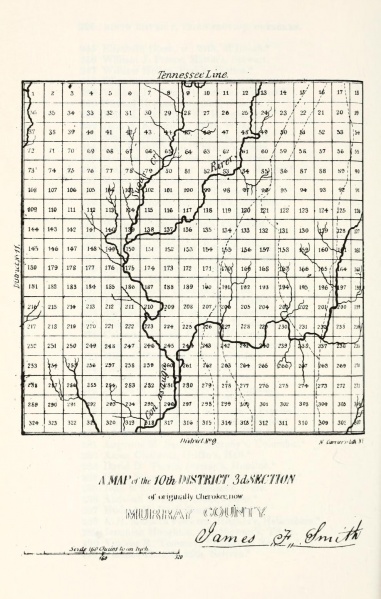
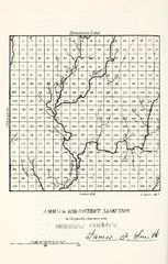
File:A Map of the 10th District 3rd Section of originally Cherokee now Murray County.jpg
Jump to navigation
Jump to search
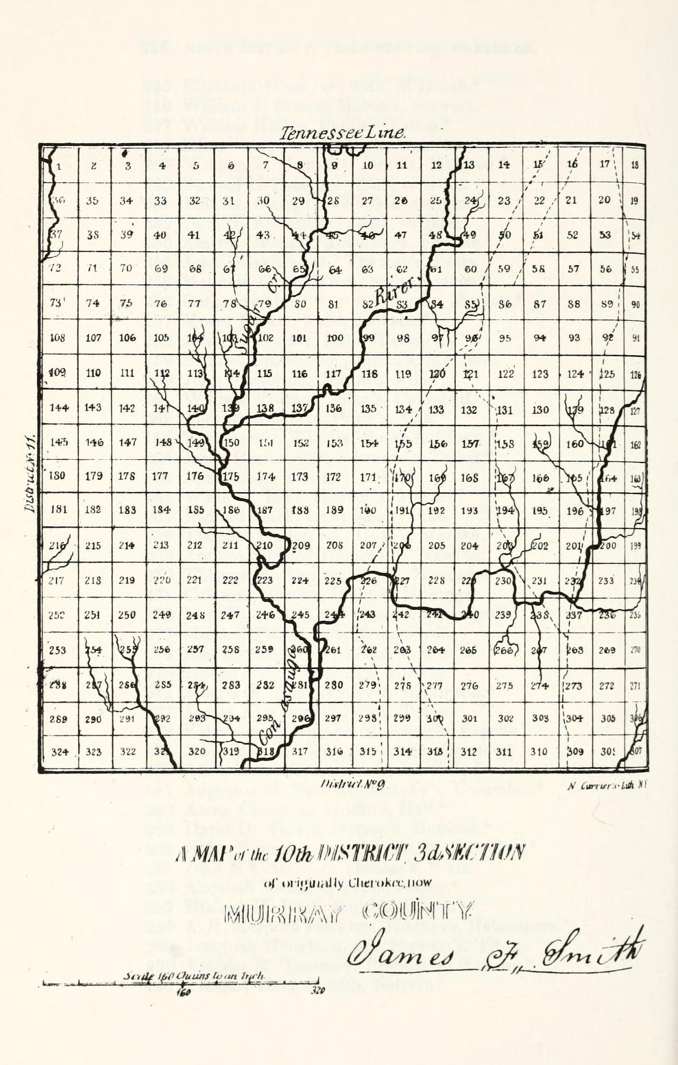
Size of this preview: 381 × 599 pixels. Other resolutions: 153 × 240 pixels | 989 × 1,554 pixels.
Original file (989 × 1,554 pixels, file size: 246 KB, MIME type: image/jpeg)
MsUpload
File history
Click on a date/time to view the file as it appeared at that time.
| Date/Time | Thumbnail | Dimensions | User | Comment | |
|---|---|---|---|---|---|
| current | 12:11, 27 April 2013 | | 989 × 1,554 (246 KB) | Wikiadmin (talk | contribs) | MsUpload |
You cannot overwrite this file.