Difference between revisions of "Category:Maps"
Jump to navigation
Jump to search
(Created page with "<gallery> Image:low-ga-1831-01.jpg Image:Georgia 1830 map.jpg Image:Georgia 1834.jpg Image:Georgia 1839 map.jpg Image:Georgia 1846 Roads Canals Rail.jpg Image:River Routes 18...") |
(No difference)
|
Revision as of 08:02, 22 April 2013


Media in category "Maps"
The following 19 files are in this category, out of 19 total.
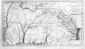
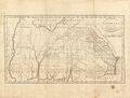 1794georgia.jpg 637 × 483; 64 KB
 1797b6.jpg 1,998 × 1,037; 207 KB
 1940 Population Schedule, volume 1, chapter 4 Georgia, page 222.jpg 1,152 × 1,733; 308 KB
 Geographical, Historical, And Statistical Map Of Georgia.jpg 8,150 × 5,825; 8.51 MB
 Georgia 1777 parish map.jpg 1,111 × 1,297; 413 KB
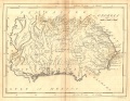
 Georgia 1796 map.jpg 1,945 × 1,133; 202 KB
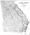
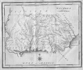
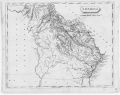 Georgia 1805.jpg 1,283 × 1,016; 102 KB
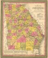
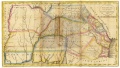
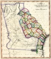 Georgia 1817 State Map 24x27.jpg 1,614 × 1,879; 882 KB
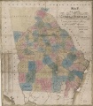
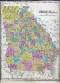 Georgia 1830 map.jpg 1,689 × 2,332; 598 KB
 Georgia 1830 State Map.jpg 1,642 × 1,879; 727 KB
 Georgia 1834.jpg 1,076 × 1,080; 440 KB
 Georgia 1839 map.jpg 1,245 × 1,508; 386 KB
 Georgia 1846 Roads Canals Rail.jpg 901 × 1,080; 324 KB
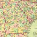
 Georgia Map of 1881 Counties and Railroads.jpg 1,496 × 1,794; 426 KB
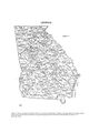
 Georgia1795.jpg 773 × 651; 208 KB
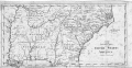
 Georgia1801.jpg 813 × 631; 219 KB
 Low-ga-1831-01.jpg 4,446 × 2,501; 2.22 MB
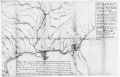 River Routes 1870.jpg 2,085 × 1,333; 190 KB


